|
Northern Tier Route State Section
Description:
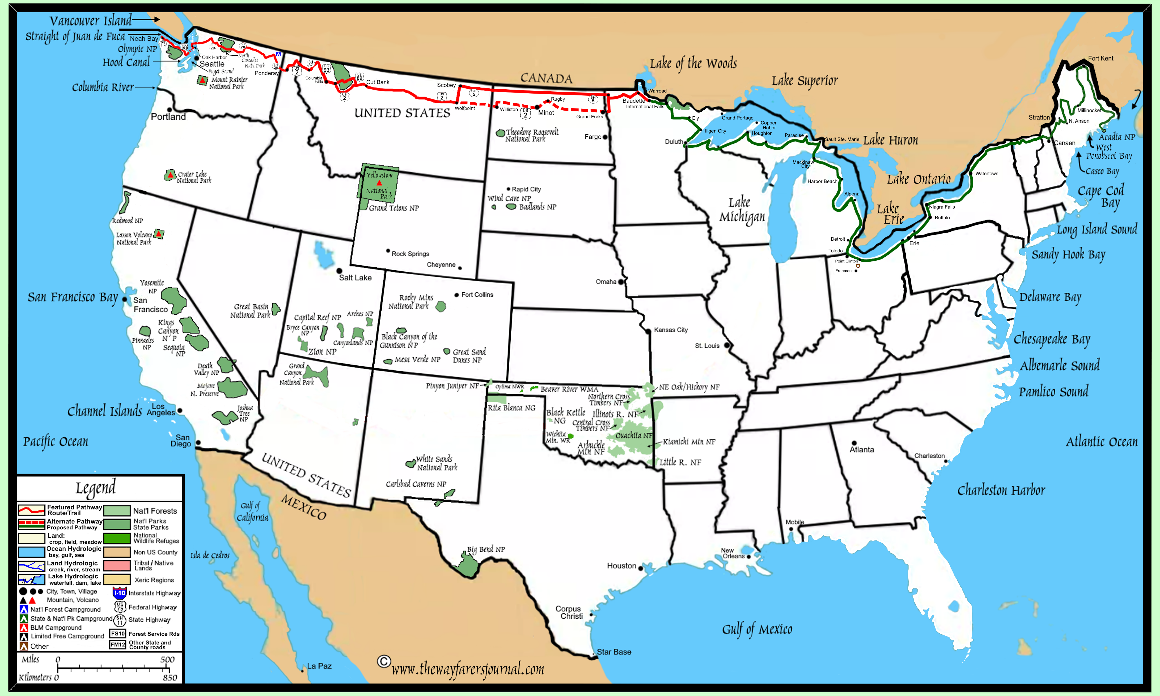
The Northern Tier Route (NTR) in Washington is divided into two section, one west of Puget Sound on the Olympic Peninsula and a second section on the east side of Puget Sound which includes the entire rest of the state and which is by far the longest of the two sections, at over 75 percent of the total mileage in the state. Also, there is a Washington State Ferry ride that connects the two sections, which is a very picturesque boat ride.
The NTR can be crossed in either direction, but if crossed in a west to east (eastward direction), then the NTR would start by first driving west to Neah Bay, Washington which is in the extreme northwest corner of the state. Unless arrange for before hand driving eastbound across the state might involve riding the ferry across Puget Sound twice. However, driving in a west bound direction could only involve crossing on the ferry once.
The NTR in Washington state crosses through and/or alongside two National Parks, miles of National Forest, over two Rocky Mountain ranges (Selkirk Mountains, Kettle River Range), through a couple of state parks, across two Islands, across the deep oceanic Puget Sound, and along miles of shorelines.
State Roadpath Information:
State Roadpath Type:
US and/or State Highways
State Roadpath Length:
541 miles
Western Section Length
123 miles
Eastern Section Length
418 miles
State Roadpath Terminuses
Roadpath Terminus Point One:
Location West:
Cape Flattery Trailhead Parking Lot, Washington
Coordinates:
48.3849460, -124.7158605
Elevation:
349 feet
Roadpath Terminus Point Two
Location East:
Newport, Washington
US 2 Bridge over the Pend Oreille River
Coordinates:
48.18501306230473, -117.03451529156966
Elevation:
2,106 feet
State Roadpath Elevations:
Roadpath Highest Point
Washington Pass
Elevation:
5,478 feet
Coordinates:
48.5236735, -120.6544708
Roadpath Lowest Point:
Coupeville Ferry Loading Pier
Elevation:
9 feet
Coordinates:
48.1596516, -122.67279140
State Geographic Information:
Geographical Region:
Pacific Coast
Geographical Region:
Basin and Range
Geographical Region:
Rocky Mountains
State Roadpath History:
Having arrive in the year 1989, I had moved here from Texas where I was looking for a change in attitude, something with a little more elevation than what was in the Texas coastal flatlands. Many of my summer vacations found me hiking the trails within the Olympic National Park as well as the inland mountain ranges.
Although it was the Texas flatland where I had grown up, it was the mountainous terrain of the Pacific Northwest were I most enjoyed spending my time exploring.
|